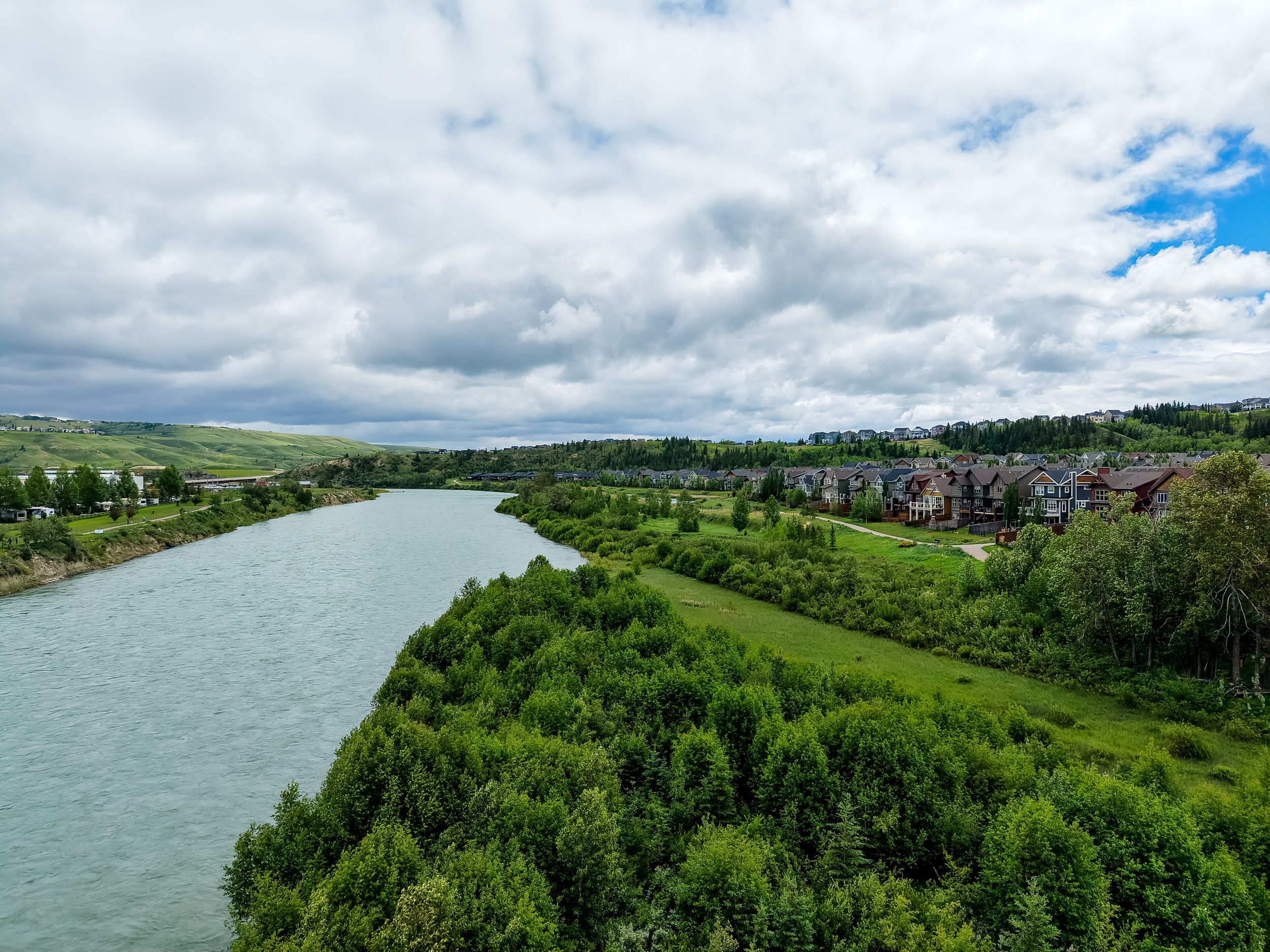
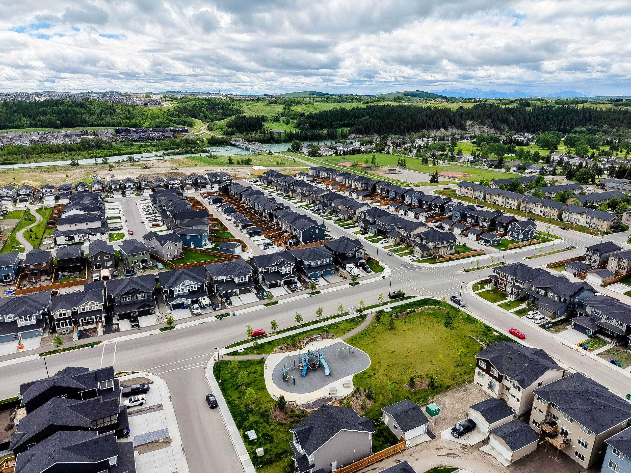

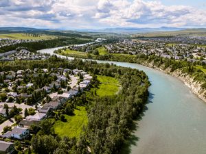
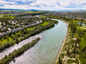
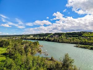
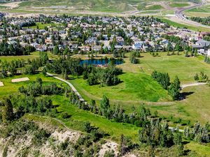
Drone Photography
Drone Photography Session — $225
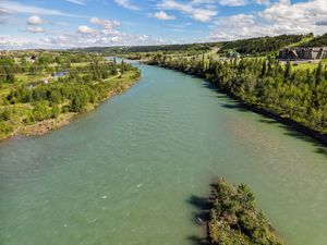
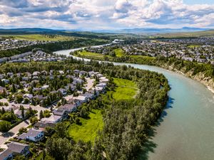
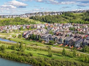
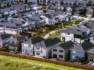
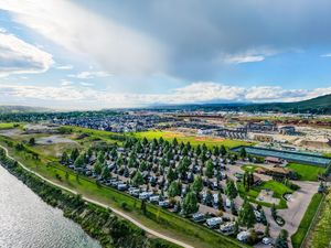
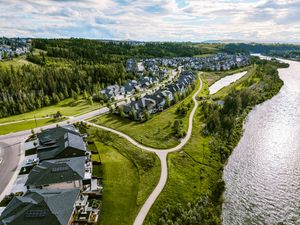
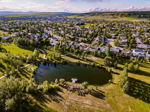
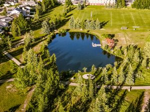
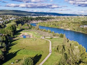
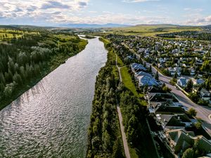
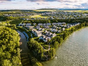
A standalone aerial photography session for residential properties, smaller acreages or commercial listings.
Includes:
- Up to 45 minutes at the property
- 10–15 professionally edited aerial images
- Multiple property angles and elevations
- High-resolution and MLS-ready files
- Professional colour and exposure correction
- Online gallery delivery
Drone Photography and Video — $350
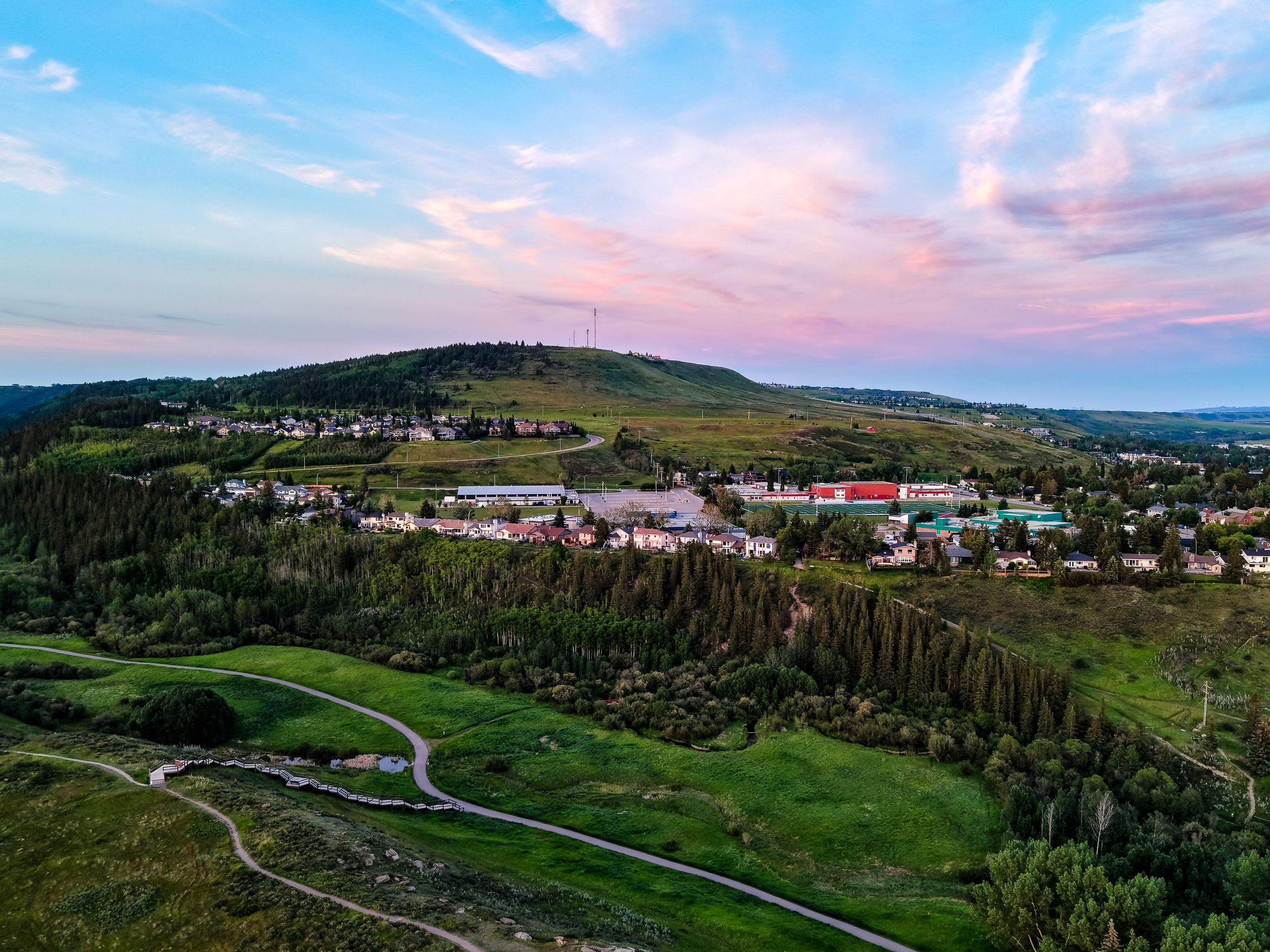
A complete aerial package designed for real estate listings, websites and social media marketing.
Includes:
- 10–15 professionally edited aerial photographs
- One professionally edited 30–45-second aerial video
- Smooth property approach and reveal footage
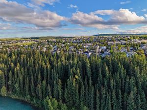
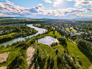
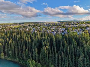
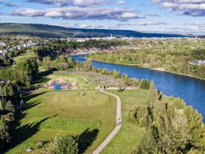
- Surrounding community and landscape views
- High-resolution image files
- Horizontal video for websites and listings
- Online delivery
Vertical Social Media Video Add-On — $50
Receive an additional vertical version formatted for Instagram Reels, Facebook and other social media platforms.
Acreage, Farm or Luxury Property $325
Larger properties often require additional flight time, planning and coverage.
Includes:
- Extended aerial photography coverage
- Multiple areas of the property
- Buildings, land and surrounding features
- 15–25 professionally edited aerial images
- High-resolution and MLS-ready files
- Online delivery
Final pricing will depend on the size of the property, travel requirements and the amount of coverage required.
Property Boundary Overlay — $75
Clearly show the approximate property boundaries on selected aerial photographs.
Boundary lines are provided for visual marketing purposes and are not a replacement for a professional land survey.
Rush Delivery — $75
Priority editing and delivery when scheduling permits.
Additional Aerial Video — Starting at $100
Add longer video coverage, additional locations or more detailed cinematic footage.
Additional Travel
Travel outside the regular Cochrane service area may be subject to an additional travel fee.
Perfect for More Than Residential Listings
Real estate drone photography is available for:
- Residential homes
- Luxury properties
- Acreages and farms
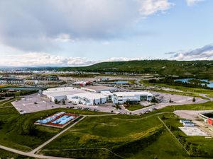
- Commercial buildings
- Rental properties
- Vacant land
- Construction progress
- Property development
- Tourism and accommodation properties
- Golf courses and recreational facilities
Custom photography packages are also available for real estate agents, builders, developers and property management companies.
Weather and Flight Conditions
Drone sessions are dependent on safe weather, visibility and local airspace conditions.
Strong winds, rain, snow, smoke or airspace restrictions may require the session to be rescheduled. There is no additional rescheduling fee when a flight must be moved because of unsafe weather or flight conditions.
Some locations may require additional planning or flight authorization before the session can take place.